Element Geospatial is a full-service survey and mapping firm delivering precise, high-quality solutions to clients across the mining, engineering, government, and private sectors.

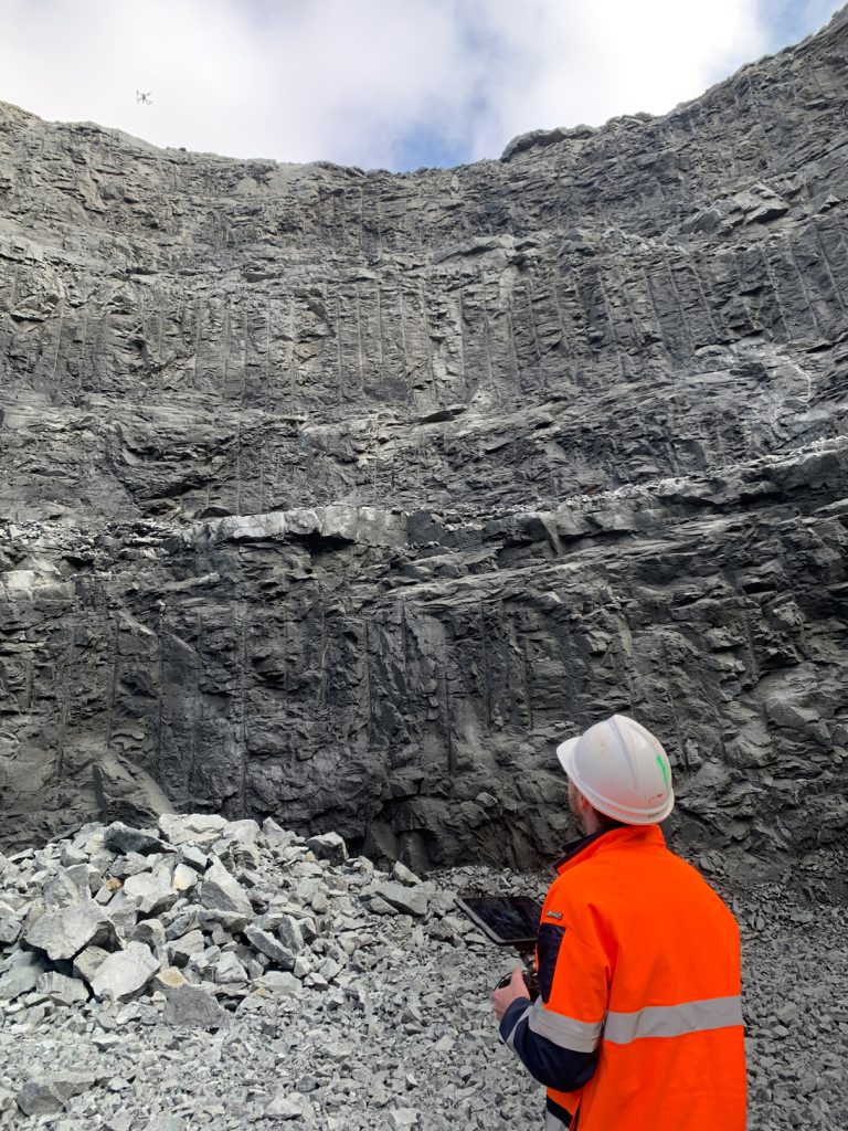
Formed from the merger of two respected industry providers, we combine extensive surveying expertise, advanced unmanned aerial systems, and innovative data processing capabilities to meet a broad range of project needs—from establishing and maintaining underground and surface control networks to performing detailed engineering and environmental surveys.

At Element Geospatial, accuracy and reliability are at the core of who we are. Our diverse team of mining, engineering, civil and licensed surveyors, scanning specialists, aerial mapping experts, and GIS professionals work collaboratively to ensure each client receives the right combination of tools, technology, and professional insight. By focusing on efficiency, safety, and clarity, we equip stakeholders with the knowledge they need to make informed decisions, manage resources effectively, and optimize their operations.

In essence, Element Geospatial delivers trusted information you can build on—providing the essential “elements” that drive successful outcomes, no matter where your project takes you.

BACK TO HOME

footer-brandmark

Element Geospatial

Mine Survey Plus and Insight UAS are merging to form a new, unified leader in the industry, Element Geospatial. This strategic partnership combines both companies strengths, promising enhanced innovation and greater service excellence for all customers. Together, we are poised to drive significant growth and deliver exceptional value.

Mine Survey Plus

Insight UAS

Copyright © ELEMENT GEOSPATIAL 2024 | All Right Reserved